West Plano
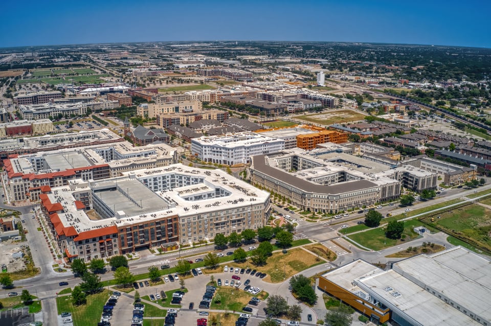
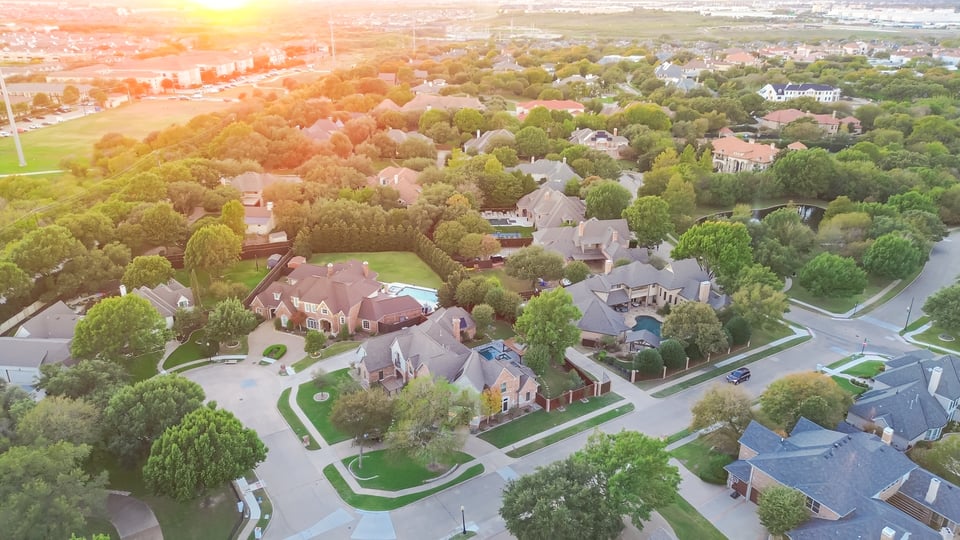
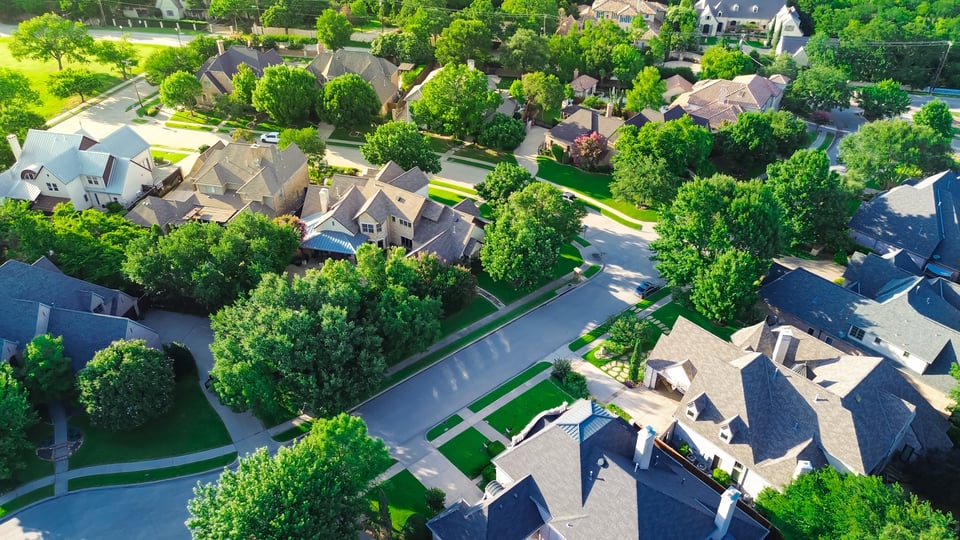
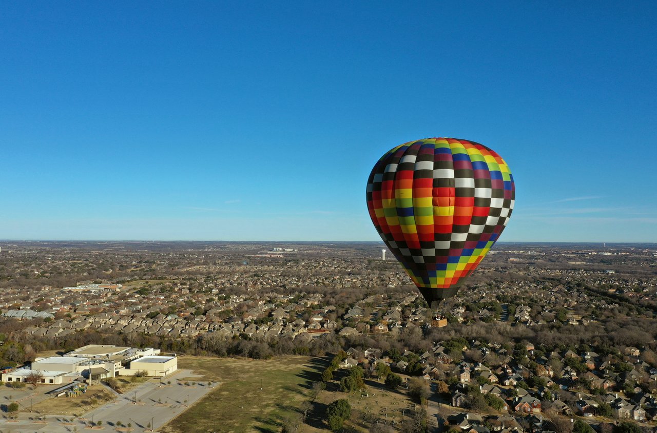
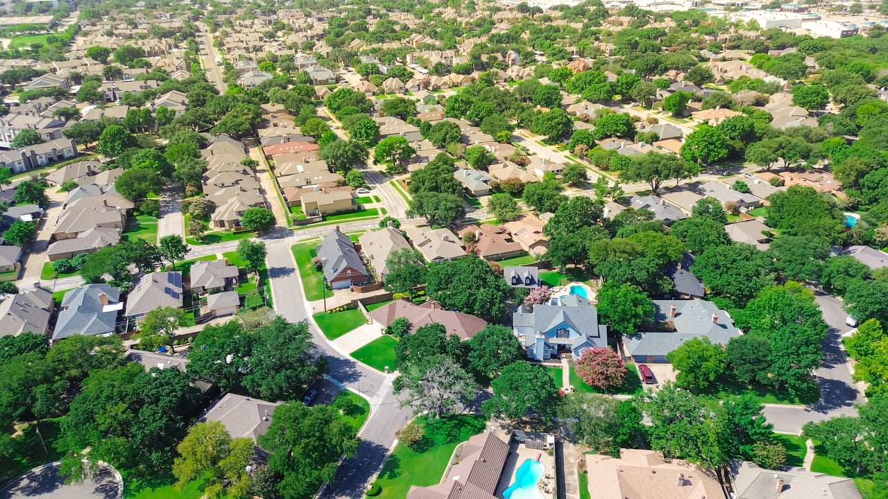
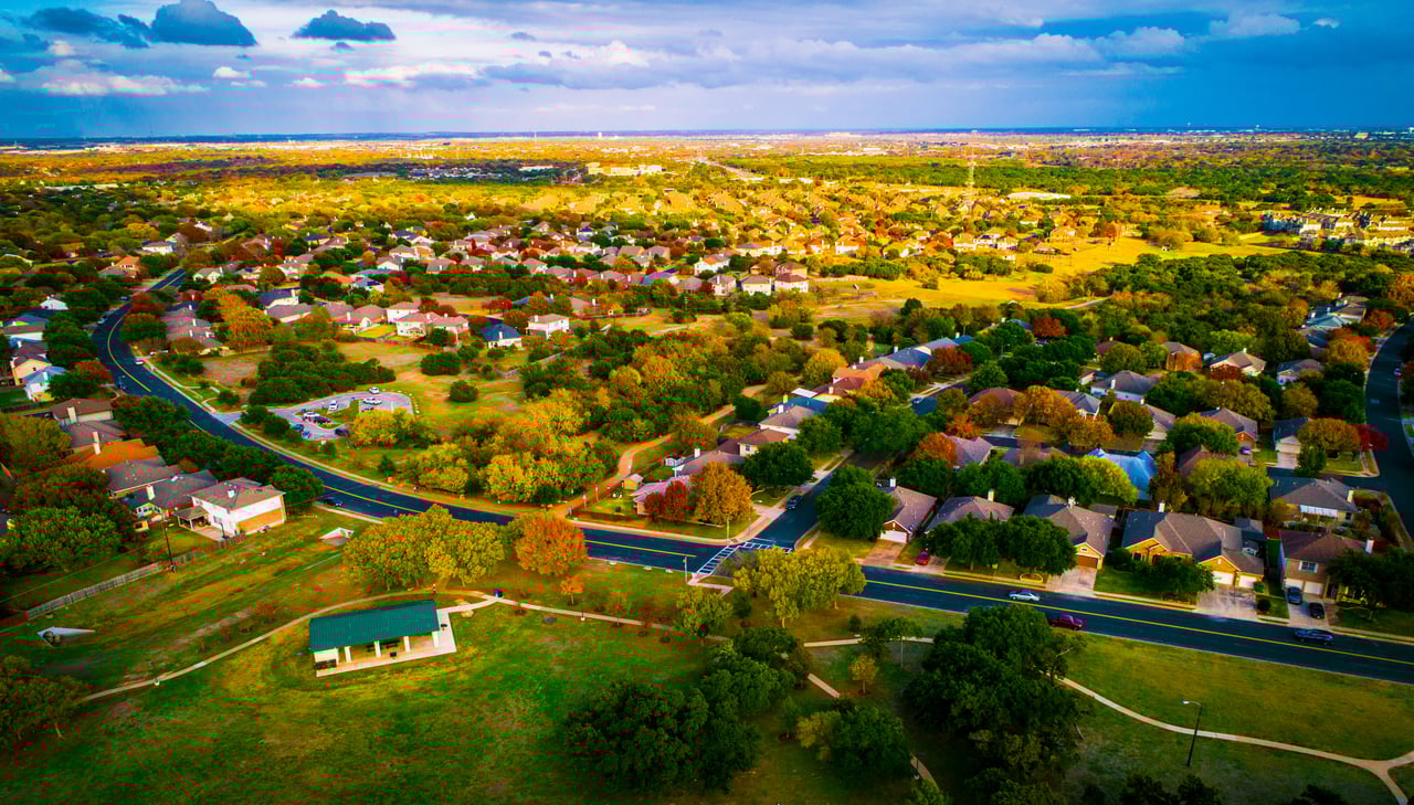
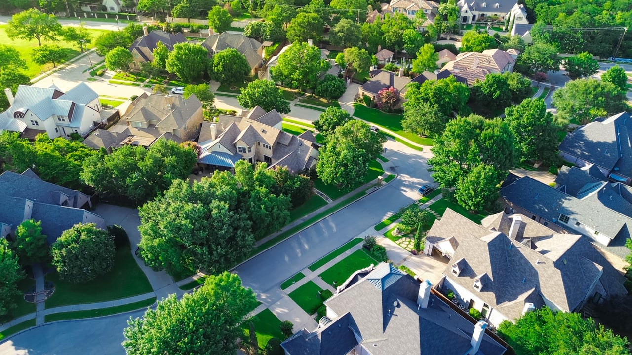
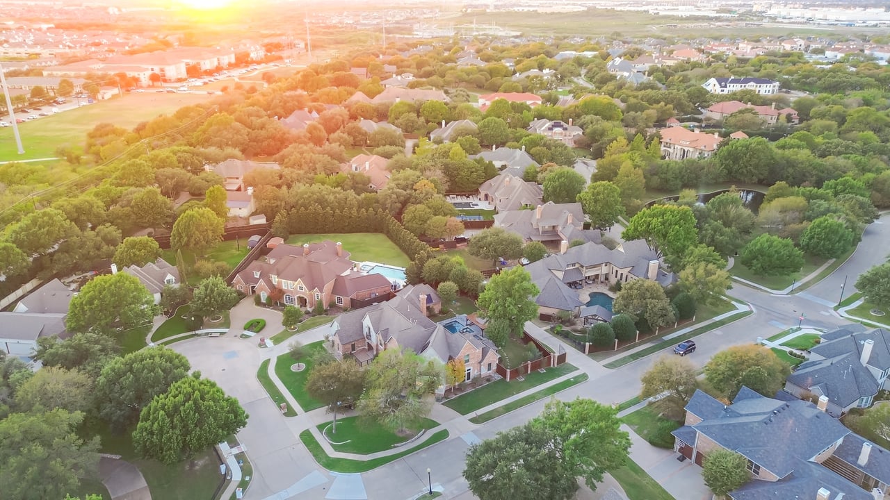
West Plano includes established communities near Preston Road, Willow Bend, the Dallas North Tollway, parks, shopping, and major employment districts. Lot size, home age, HOA structure, and access can vary significantly.
Plano Neighborhood & Community Guide
Living in Plano, TX can look very different depending on which side of the city you choose. West Plano places residents near the Dallas North Tollway, Legacy-area offices, retail, and established residential communities. Central Plano offers mature neighborhoods and practical cross-city access, while Downtown and East Plano connect residents with DART, local arts, parks, and older residential streets.
This guide is designed for neighborhood and lifestyle research. Explore Plano’s local areas, transportation, parks, school-district considerations, shopping, dining, and nearby North Texas communities before deciding which location best supports your everyday routine.
Where Is Plano, Texas?
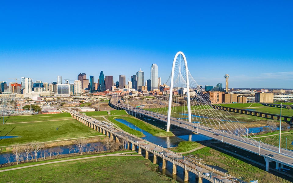
Plano is located north of Dallas within the Dallas–Fort Worth Metroplex. Most of the city is in Collin County, with a portion extending into Denton County. Its position between US 75 and the Dallas North Tollway supports access to Dallas, Richardson, Frisco, Allen, McKinney, and other North Texas employment and activity centers.
DART rail and bus service adds another option for regional travel. The Red and Orange lines serve Plano stations along the US 75 corridor, while the Silver Line provides regional rail connections from Plano toward DFW International Airport.
Neighborhoods in Plano, TX
Neighborhood names and boundaries can overlap. Use these broader areas to organize your research, then evaluate the immediate streets, access, and surroundings of each address.
West Plano includes established communities near Preston Road, Willow Bend, the Dallas North Tollway, parks, shopping, and major employment districts. Lot size, home age, HOA structure, and access can vary significantly.
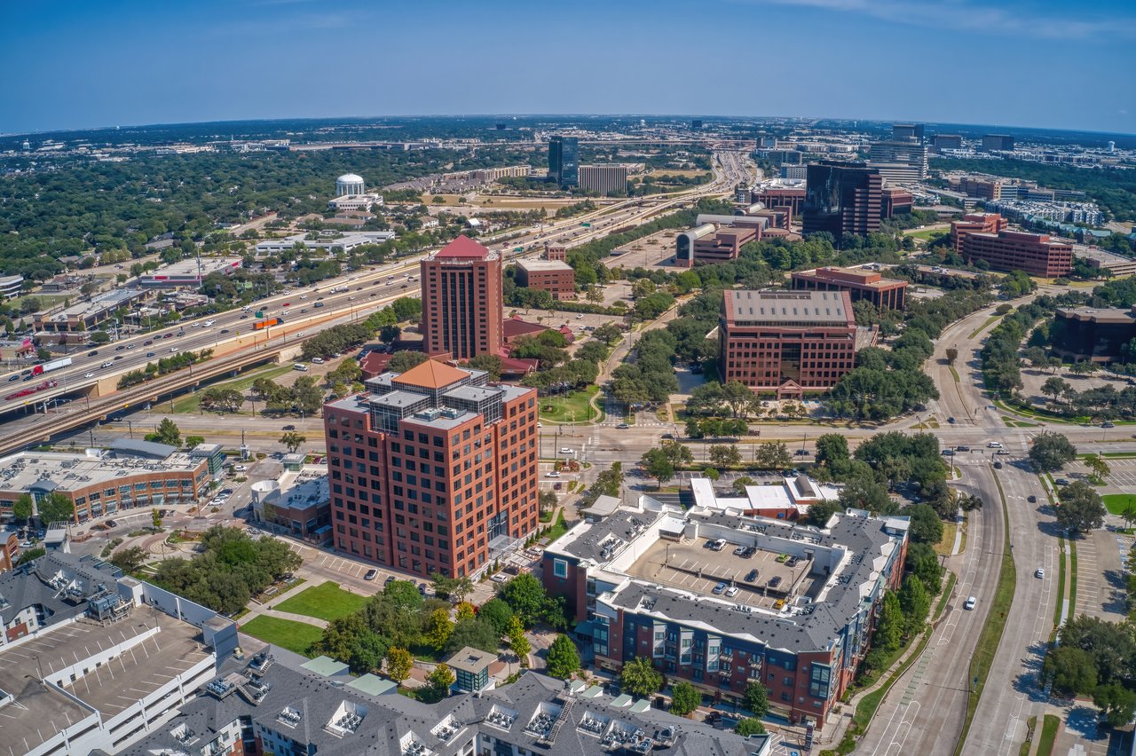
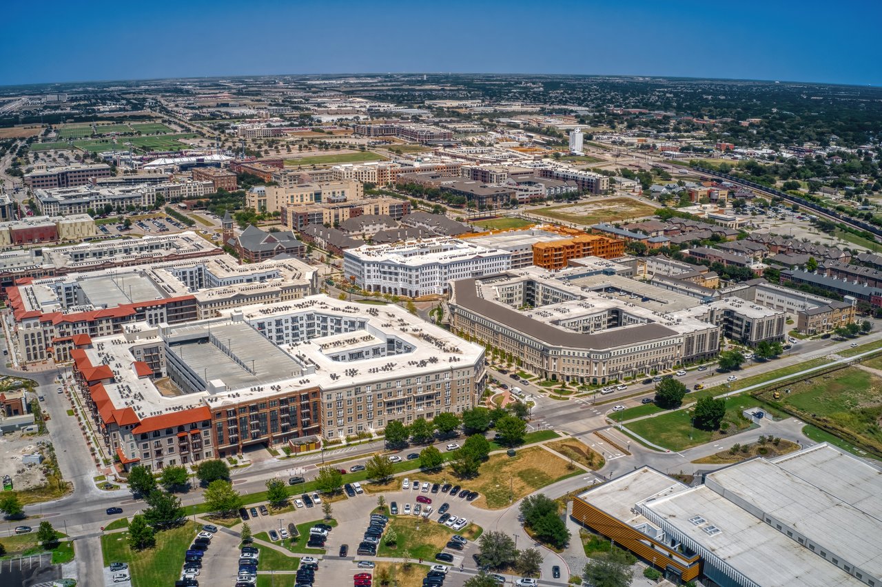
The Legacy area combines offices, dining, retail, hotels, entertainment, apartments, and attached residential options. Buyers and renters often compare walkability, parking, commute patterns, and mixed-use activity.
Central Plano contains mature residential streets and communities such as Dallas North Estates, Pitman Creek Estates, and Country Place, with practical access to parks, services, and cross-city routes.
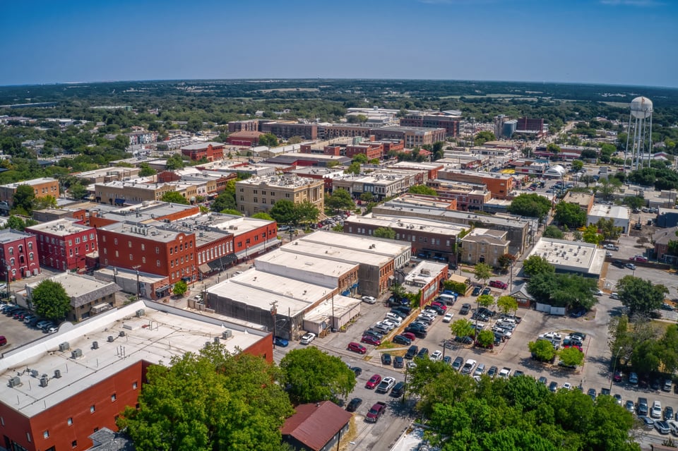
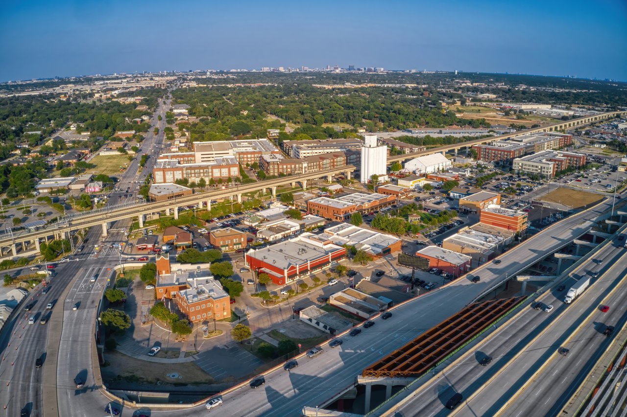
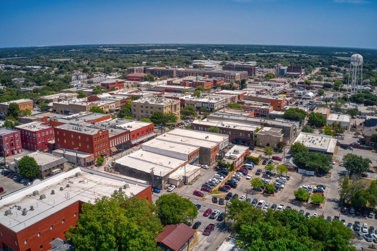
Downtown Plano centers on historic streets, local restaurants, arts and community events, Haggard Park, and DART access. Nearby housing ranges from older residential pockets to more connected urban-style options.
East Plano offers established neighborhoods, US 75 access, local commercial corridors, and proximity to Oak Point Park and Nature Preserve. Property age and renovation history are important points of comparison.
Northwest Plano includes communities near Sam Rayburn Tollway, Legacy-area destinations, and the borders of Frisco and The Colony. Some addresses may fall within different school districts.
Recognized Residential Areas
Plano contains many named subdivisions and residential pockets in addition to its broader east, central, and west areas. These descriptions are starting points rather than fixed boundary definitions.
Willow Bend is associated with West Plano’s mature landscaping, established residential streets, and convenient access to the Dallas North Tollway, Preston Road, shopping, dining, and nearby parks. Individual sections may have different associations, architectural guidelines, and maintenance expectations.
Lakeside on Preston is a planned West Plano community near Preston Road and major cross-city routes. Buyers researching the area should compare the specific section, association structure, shared amenities, lot orientation, and access to everyday destinations.
Kings Ridge sits near the western edge of Plano with access toward Legacy-area offices, Sam Rayburn Tollway, Dallas North Tollway, and neighboring communities. Street layout, topography, associations, and nearby commercial activity vary by location.
Deerfield is an established North Plano community known locally for distinctive seasonal displays and neighborhood activity. Its position near Legacy Drive, Coit Road, and major routes can support several commute directions, but traffic should be tested at realistic hours.
Whiffletree is a mature central-west Plano area with tree-lined streets and access to parks, schools, and major north–south roads. Property age, drainage, previous improvements, and large systems deserve address-specific review in established neighborhoods.
Dallas North Estates occupies a central Plano setting near local services and cross-city routes. The area includes homes from different periods and with varied renovation histories, so the immediate block and individual property condition matter more than the neighborhood name alone.
Pitman Creek Estates is connected to Central Plano’s mature residential character and greenbelt network. Trail access, creek or drainage proximity, street setting, and the route to regular destinations should all be evaluated at the specific address.
Country Place is an established community with shared amenities and a central location near major Plano roads. Association responsibilities, recreational facilities, architectural standards, and maintenance coverage should be confirmed from current community documents.
The streets surrounding Downtown Plano offer a mix of historic character, older residences, apartments, townhome-style development, and newer infill. Buyers should compare parking, rail proximity, event activity, walkability, and future development plans.
Plano Area Comparison
A neighborhood choice should reflect the places you use, the routes you travel, and the setting you prefer—not a generic ranking of one area over another.
Area | Local Character | Useful Connections | What to Compare |
|---|---|---|---|
West Plano | Established residential communities, larger commercial districts, parks, and Tollway-oriented access. | Dallas North Tollway, Preston Road, Legacy Drive, Willow Bend, Arbor Hills, and nearby employment centers. | Daily routes, property age, HOA rules, school assignment, lot care, and proximity to shopping or offices. |
Legacy Area | Mixed-use environment with offices, restaurants, retail, hotels, entertainment, and denser housing options. | Dallas North Tollway, Sam Rayburn Tollway, Legacy West, The Shops at Legacy, and Granite Park. | Walkability, structured parking, traffic, events, nearby construction, association rules, and street activity. |
Central Plano | Mature residential streets, established parks, local services, and varied housing from different decades. | Coit Road, Independence Parkway, Parker Road, Spring Creek Parkway, and cross-city trail routes. | Renovation history, major systems, drainage, street setting, commute routes, and nearby services. |
Downtown & East | Historic downtown activity, arts, transit, older neighborhoods, parks, and newer infill development. | US 75, DART stations, 15th Street, Downtown Plano, Haggard Park, and Oak Point Park. | Rail and road proximity, parking, event activity, property condition, future projects, and preferred level of activity. |
Transportation & Commutes
Plano’s location provides several travel options, but convenience changes by address. Compare the complete door-to-door trip, toll use, station access, parking, and peak traffic instead of relying only on mileage.
Connection | Primary Access | Neighborhood Research Consideration |
|---|---|---|
Dallas & Richardson | US 75, President George Bush Turnpike, DART Red and Orange lines | East and Central Plano may provide more direct access to the US 75 corridor, while the best route depends on the final Dallas or Richardson destination. |
Frisco & North Plano | Dallas North Tollway, Preston Road, Coit Road and Sam Rayburn Tollway | Northwest and West Plano can be useful for northbound routines, but toll costs, school traffic, construction, and event schedules can affect the trip. |
DFW International Airport | Sam Rayburn Tollway, President George Bush Turnpike and DART Silver Line | Driving time varies across Plano. Travelers considering rail should compare the route to a Silver Line station, schedules, luggage needs, and the airport terminal connection. |
Dallas Love Field | Dallas North Tollway and connecting Dallas roads | Love Field may be practical for some airlines and routes. The more convenient airport depends on the Plano address, traffic, flight schedule, and destination. |
Local DART Stations | Downtown Plano, Parker Road, Shiloh Road and Silver Line connections | Confirm the actual route to the station, first- and last-mile options, parking availability, service hours, transfers, and individual comfort with nearby rail activity. |
Walking & Cycling | Downtown streets, mixed-use districts, shared-use paths and neighborhood trails | Walkability varies widely. Test the specific route and consider road crossings, shade, weather, lighting, trail hours, and whether daily errands still require a car. |
Travel-time reminder: North Texas traffic can change significantly by time of day, weather, construction, school schedules, and events. Test important trips from the exact neighborhood rather than using a citywide commute estimate.
Everyday Life in Plano
Use official city, transportation, and district resources for details that can change. The links below provide a reliable starting point for current research.
Arbor Hills Nature Preserve, Oak Point Park and Nature Preserve, neighborhood parks, greenbelts, and nearly 100 miles of shared-use paths support outdoor recreation across Plano. Review the official Plano trail system.
Plano is served by DART rail and bus connections, including Red and Orange Line service and the Silver Line toward DFW Airport. Check current routes using the DART schedules and maps.
Many Plano addresses are served by Plano ISD, while some areas may be assigned to Frisco ISD or Lewisville ISD. School assignment must be verified by address using each district’s current locator.
Legacy West, The Shops at Legacy, Downtown Plano, Preston Road, Parker Road, and neighborhood commercial centers give residents several different dining, shopping, and service environments.
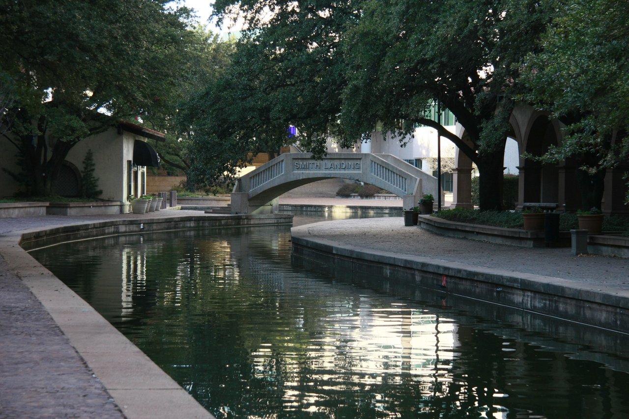
Downtown Plano’s arts district, Haggard Park, local museums, seasonal programming, and citywide events create options beyond Plano’s office and retail districts.
Hospitals, specialty providers, city recreation centers, libraries, municipal services, and neighborhood retail are distributed across Plano and neighboring North Texas cities.
Outdoor Life & Seasons
Outdoor access is one of Plano’s strongest community features, but the experience changes with location and season. Compare the route, facilities, shade, drainage, and type of recreation you expect to use.
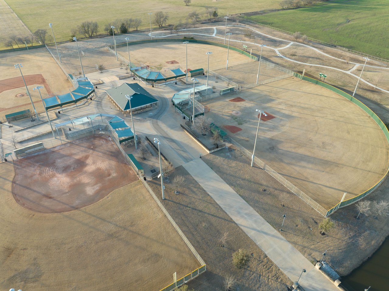
Arbor Hills provides paved and natural-surface trails, open space, and an elevated outdoor setting in West Plano. Nearby access can be convenient, but parking demand, weekend activity, and the exact neighborhood route should be considered.
Oak Point Park and Nature Preserve anchors outdoor recreation in East Plano with trails, water, open areas, and connections to the broader path network. Proximity can support frequent use without making every nearby street equally walkable.
Plano’s trail system links many parks, creek corridors, recreation facilities, and residential areas. Check the official map for surface type, crossings, access points, closures, and whether a route connects to the places you use.
City facilities provide indoor fitness, aquatics, classes, sports, and community programming. Compare membership requirements, schedules, facilities, and travel time from each area using current City of Plano information.
Hot summers shape outdoor schedules, landscaping, cooling needs, and the value of shade. Severe thunderstorms, hail, and heavy rain can also make roof history, drainage, trees, insurance, and emergency planning important.
Winters are generally milder than in many northern markets, but occasional freezes and ice can disrupt roads and utilities. Buyers relocating to Plano should ask about plumbing protection, irrigation systems, insulation, and past weather-related repairs.
Daily-Life Anchors
A Plano address connects to more than a subdivision. School boundaries, work locations, healthcare systems, libraries, cultural destinations, and routine services can be just as important as the streets immediately around a property.
Plano ISD serves many city addresses, but parts of Plano may be served by Frisco ISD or Lewisville ISD. District boundaries do not follow city limits, and feeder patterns can change. Verify the current district and assigned campuses directly with the exact address.
Legacy, Granite Park, the Tollway corridor, and nearby North Dallas employment centers influence many local routines. A short distance on a map does not always mean a short commute, so compare entrances, parking, toll use, and peak-hour congestion.
East and Central Plano provide access toward Richardson, Telecom Corridor businesses, Downtown Dallas, medical services, and other US 75 destinations. DART can be useful for some trips, but the complete station-to-destination route should be tested.
Plano and nearby North Texas cities contain major hospitals, pediatric facilities, specialty practices, urgent care, and outpatient services. If regular care matters, compare the actual route, network participation, parking, and after-hours options.
Plano’s libraries, recreation programs, municipal facilities, waste services, and public-safety resources contribute to everyday life. Facility locations and programming can help distinguish two otherwise similar residential areas.
Downtown Plano, Haggard Park, the Interurban Railway Museum, local performance spaces, and seasonal community events add cultural activity. Nearby residents should also consider event schedules, parking demand, and preferred proximity to activity.
Moving to Plano
A useful neighborhood comparison should be based on the exact address and your routine. Visit more than once, test important trips, and verify details that may change over time.
Drive or ride the likely commute during realistic hours and compare access to work, school, services, airports, and regular activities.
Return during weekdays, evenings, and weekends to understand traffic, street activity, lighting, events, and nearby commercial use.
Confirm the assigned district and campuses directly using the property address. City limits and school-district boundaries are not identical.
Consider nearby construction, transportation work, zoning, redevelopment, and other projects that may affect the immediate area.
Check the actual route to trails, nature preserves, recreation centers, playgrounds, sports facilities, or greenbelts you expect to use.
Compare HOA structure, street design, parking, lot maintenance, property age, nearby roads, rail lines, and mixed-use activity.
School-boundary reminder: Use the Plano ISD SchoolFinder, Frisco ISD attendance-zone resources, or the Lewisville ISD School Locator to verify the current assignment for a specific address.
Continue Your Plano Research
Use these resources to move from community research into current local updates or the separate Plano property-search hub.
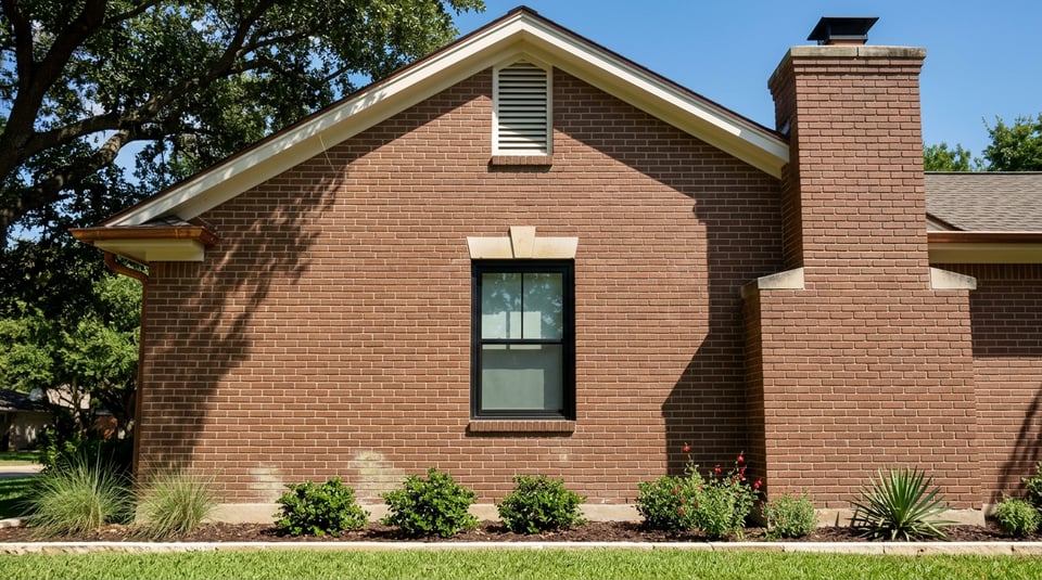
Read a resident-focused look at how Plano’s different districts and routines shape the summer experience.
Read the Article →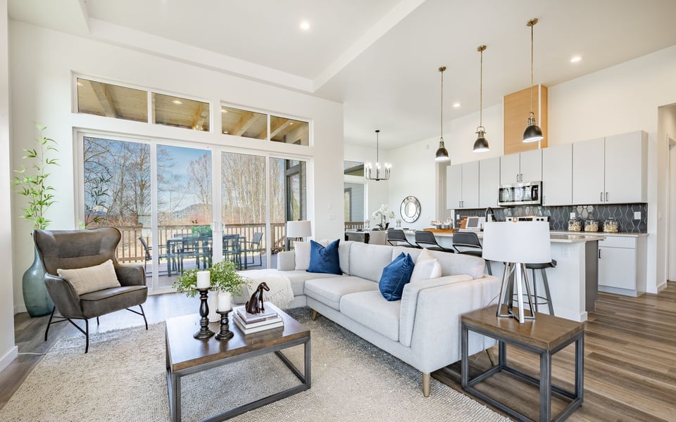
Review property condition, area differences, transportation, and preparation before beginning a focused search.
Read the Guide →
When your neighborhood research is complete, move to the main hub for current inventory and transactional buyer guidance.
View the Main Hub →Nearby Communities
Compare Plano with nearby cities when commute patterns, community setting, parks, local districts, or regional access could expand your search.
Plano Community Questions
Answers about Plano’s location, neighborhoods, airports, transportation, parks, school districts, and the next step after completing your community research.
Plano is north of Dallas within the Dallas–Fort Worth Metroplex. Most of the city is in Collin County, with a portion in Denton County. Major regional routes include US 75, the Dallas North Tollway, President George Bush Turnpike, and Sam Rayburn Tollway.
Start by comparing West Plano, the Legacy and Granite Park area, Central Plano, Downtown Plano, East Plano, and Northwest Plano. Recognized communities include Willow Bend, Kings Ridge, Dallas North Estates, Pitman Creek Estates, Country Place, Deerfield, and Lakeside on Preston. Boundaries can overlap, so evaluate each address and immediate setting.
Dallas Love Field and Dallas/Fort Worth International Airport are the primary commercial airports serving Plano. Which is more convenient depends on the starting address, traffic, airline, and destination. DART’s Silver Line also provides a regional rail connection from Plano toward DFW Airport.
Yes. DART provides bus and rail service in Plano. Red and Orange Line trains serve stations along the US 75 corridor, while the Silver Line provides regional rail service through Plano toward DFW Airport. Routes and schedules should be checked directly with DART.
Plano’s outdoor resources include Arbor Hills Nature Preserve, Oak Point Park and Nature Preserve, neighborhood parks, recreation centers, greenbelts, and nearly 100 miles of shared-use paths. The City of Plano trail map is the best source for current routes and access information.
Many addresses are served by Plano Independent School District. Some parts of Plano may be served by Frisco ISD or Lewisville ISD. Always enter the exact property address into the appropriate district’s current school locator because municipal and district boundaries differ.
West Plano is closely connected to the Dallas North Tollway, Legacy-area destinations, and established residential communities. Central Plano contains mature neighborhoods and practical cross-city routes. Downtown and East Plano offer access to DART, historic streets, local arts, older residential areas, and Oak Point Park.
Walkability varies considerably. Downtown Plano and parts of the Legacy area provide more connected access to restaurants, services, events, or transit, while many residential areas are designed around driving. Test the exact route to the places you expect to use and consider road crossings, weather, shade, and first- and last-mile transportation.
Plano has hot summers, periods of severe thunderstorms and hail, and occasional winter freezes or ice. Property-specific research should include cooling systems, roof history, drainage, trees, irrigation, plumbing protection, insurance, and any previous weather-related repairs.
After comparing Plano neighborhoods and lifestyle factors, continue to the dedicated Plano real estate hub. That page contains the current property search and transactional buyer guidance, while this page remains focused on community information.
Local Plano Guidance
Tell GO Real Estate which commute, parks, districts, amenities, and community setting matter most. The team can help you organize your neighborhood research and identify the next step without treating every part of Plano as the same.
308,628 people live in Plano, where the median age is 39.3 and the average individual income is $57,274. Data provided by the U.S. Census Bureau.
Total Population
Median Age
Population Density
Average individual Income
There's plenty to do around Plano, including shopping, dining, nightlife, parks, and more. Data provided by Walk Score and Yelp.
Explore popular things to do in the area, including Bernie's Donuts, Chevron Products, and Sai Namaste Plaza.
| Name | Category | Distance | Reviews |
Ratings by
Yelp
|
|---|---|---|---|---|
| Dining | 0.93 miles | 0 reviews | 0/5 stars | |
| Dining · $ | 1.33 miles | 0 reviews | 0/5 stars | |
| Dining · $$ | 1.43 miles | 1 review | 1/5 stars | |
| Shopping | 0.61 miles | 0 reviews | 0/5 stars | |
| Active | 0.73 miles | 0 reviews | 0/5 stars | |
| Active | 0.73 miles | 2 reviews | 5/5 stars | |
| Active | 0.92 miles | 0 reviews | 0/5 stars | |
| Active | 1.68 miles | 0 reviews | 0/5 stars | |
| Beauty | 0.37 miles | 0 reviews | 0/5 stars | |
| Beauty | 0.37 miles | 0 reviews | 0/5 stars | |
| Beauty | 0.51 miles | 0 reviews | 0/5 stars | |
| Beauty | 0.57 miles | 0 reviews | 0/5 stars | |
| Beauty | 0.57 miles | 0 reviews | 0/5 stars | |
| Beauty | 0.87 miles | 0 reviews | 0/5 stars | |
| Beauty | 0.87 miles | 0 reviews | 0/5 stars | |
| Beauty | 0.89 miles | 0 reviews | 0/5 stars | |
| Beauty | 0.92 miles | 0 reviews | 0/5 stars | |
| Beauty | 0.96 miles | 0 reviews | 0/5 stars | |
| Beauty | 0.98 miles | 1 review | 5/5 stars | |
| Beauty | 1.06 miles | 1 review | 5/5 stars | |
| Beauty | 1.47 miles | 0 reviews | 0/5 stars | |
| Beauty | 1.48 miles | 0 reviews | 0/5 stars | |
| Beauty | 1.48 miles | 0 reviews | 0/5 stars | |
| Beauty | 1.48 miles | 3 reviews | 3.7/5 stars | |
|
|
||||
|
|
||||
|
|
||||
|
|
||||
|
|
||||
|
|
Plano has 116,530 households, with an average household size of 2.722857142857143. Data provided by the U.S. Census Bureau. Here’s what the people living in Plano do for work — and how long it takes them to get there. Data provided by the U.S. Census Bureau. 308,628 people call Plano home. The population density is 4,114 and the largest age group is Data provided by the U.S. Census Bureau.
Total Population
Population Density Population Density This is the number of people per square mile in a neighborhood.
Median Age
Men vs Women
Population by Age Group
0-9 Years
10-17 Years
18-24 Years
25-64 Years
65-74 Years
75+ Years
Education Level
Total Households
Average Household Size
Average individual Income
Households with Children
With Children:
Without Children:
Blue vs White Collar Workers
Blue Collar:
White Collar:

2701 West Plano Pkwy Suite 650 Plano TX 75075
2701 West Plano Pkwy Suite 650 Plano TX 75075